This article was originally written by Peter Coutu for the Virginian Pilot. We loved it so much we wanted to share it with our followers.
A $95 million plan to protect neighborhoods near the Lynnhaven Inlet, one of the areas most at risk of current and future flooding in Virginia Beach, is beginning to become a reality.
On the east side of Shore Drive, largely south of the thoroughfare, the city plans to construct three new pump stations and make several other improvements, including the deepening and widening of the Cape Henry Canal and raising Lynnhaven Drive. The work, which will take more than five years to complete, will stretch from First Landing State Park to the west side of the Lesner Bridge.
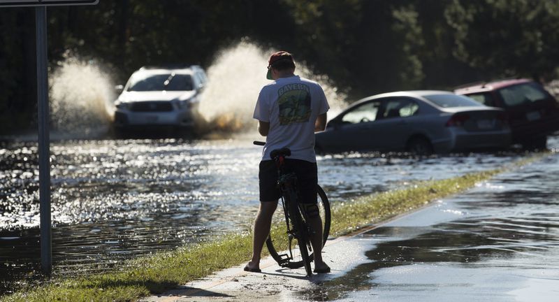
The area is relatively low-lying and has inadequate stormwater systems, subjecting communities to repeated floods during storms over the past several years, city officials have said. It also faces the costliest damage from today’s conditions, according to the city’s new sea level rise study. That’s true under short-term and long-term sea level rise projections, too.
The project officially got underway in November, but contractors haven’t started moving dirt yet. City engineers have recently hosted meetings with nearby community organizations to brief them on the plans before they begin to see detours throughout the neighborhood.
“That’s why we’re getting out to the community to let them know — before we start irritating them,” said Mike Mundy, a public works engineer.
The Eastern Shore Drive work represents a small portion of the city’s overall stormwater needs, which officials have estimated to cost about $1.3 billion. But it’s one of the city’s most costly areas based on how much the city is spending on its current stormwater fixes, coming in a notch below the price tags associated with the Oceanfront ($113 million), Windsor Woods ($139 million) and Princess Anne Plaza ($200 million) neighborhoods.
Construction for this project will start on a small part of the Cape Henry Canal section, so a separate upcoming road project doesn’t create more flooding when it is completed.
Though the city still needs to get some permits and find roughly $30 million in funding, officials plan to work nearly continuously for the next several years. The last part of the current phase of the plan — a pump station at the intersection of Shore Drive and Page Avenue — would start construction in October 2024, according to city documents. Officials have said the project could be accelerated if more funding became available through a possible $430 million bond referendum this November. A recent city survey found that roughly 7 out of 10 residents support putting this referendum on the fall ballot.
The city has made some improvements near Shore Drive in recent years, including five check valves, which limit water to flow to one direction, in the Lynnhaven Colony and three sliding gates in the Cape Henry Ditch. The gates prevented another foot of water from swamping the neighborhood and damaging homes during Hurricane Dorian, which brought light flooding to the region.
The work the city decided to pursue is mild compared to some of the ideas they had initially considered for the area. Mundy, the public works engineer who is helping lead the project, said the city had thought about building a 10-foot-high sea wall around the back of the neighborhood, near Long Creek. They soon realized the associated cost — about $500 million roughly, he said — made it unrealistic.
Though this flood control work should better safeguard the area from storms today, it doesn’t take into account future sea level rise. The city is bracing for 1.5 feet for the years 2035 to 2055, and 3 feet for 2065 to 2085.
To guard the area against that threat, a new study recommended movable flood walls and a circular gate underneath the Lesner Bridge, which would cost hundreds of millions of dollars.
The city is currently hosting a series of meetings on its sea level rise plan, which would not impact current stormwater work but provides a framework for future flooding fixes.

